Journey into Joshua Tree
Self-guided audio driving tour and area guide
What to Expect
Experience the magic of Joshua Tree National Park with this self-guided audio driving tour. Using our app and GPS-triggered narration, you’ll explore otherworldly desert landscapes and visit highlights like Skull Rock, Hidden Valley, and the Cholla Cactus Garden, plus a few hidden gems along the way.
Start from either park entrance and go at your own pace, with the freedom to stop, hike, or just enjoy the view from your car. The tour also includes a curated area guide featuring our favorite spots to eat, shop, and explore in Joshua Tree, Yucca Valley, and Pioneertown.
Ready to go? Book below or download our app and purchase directly from your phone.
📍 Location: Joshua Tree National Park
🚗 Type: Driving tour
⏱ Duration: Approx. 4-6 hours (flexible)
✅ Includes: GPS-triggered audio, helpful tips, area guide
📶 Works Offline: Download ahead of time - no cell service required
🎧 Multiple Languages: English, Spanish, French, German
Discover the Mojave: Joshua Tree Self-Guided Driving Tour

A Landscape Sculpted by Time
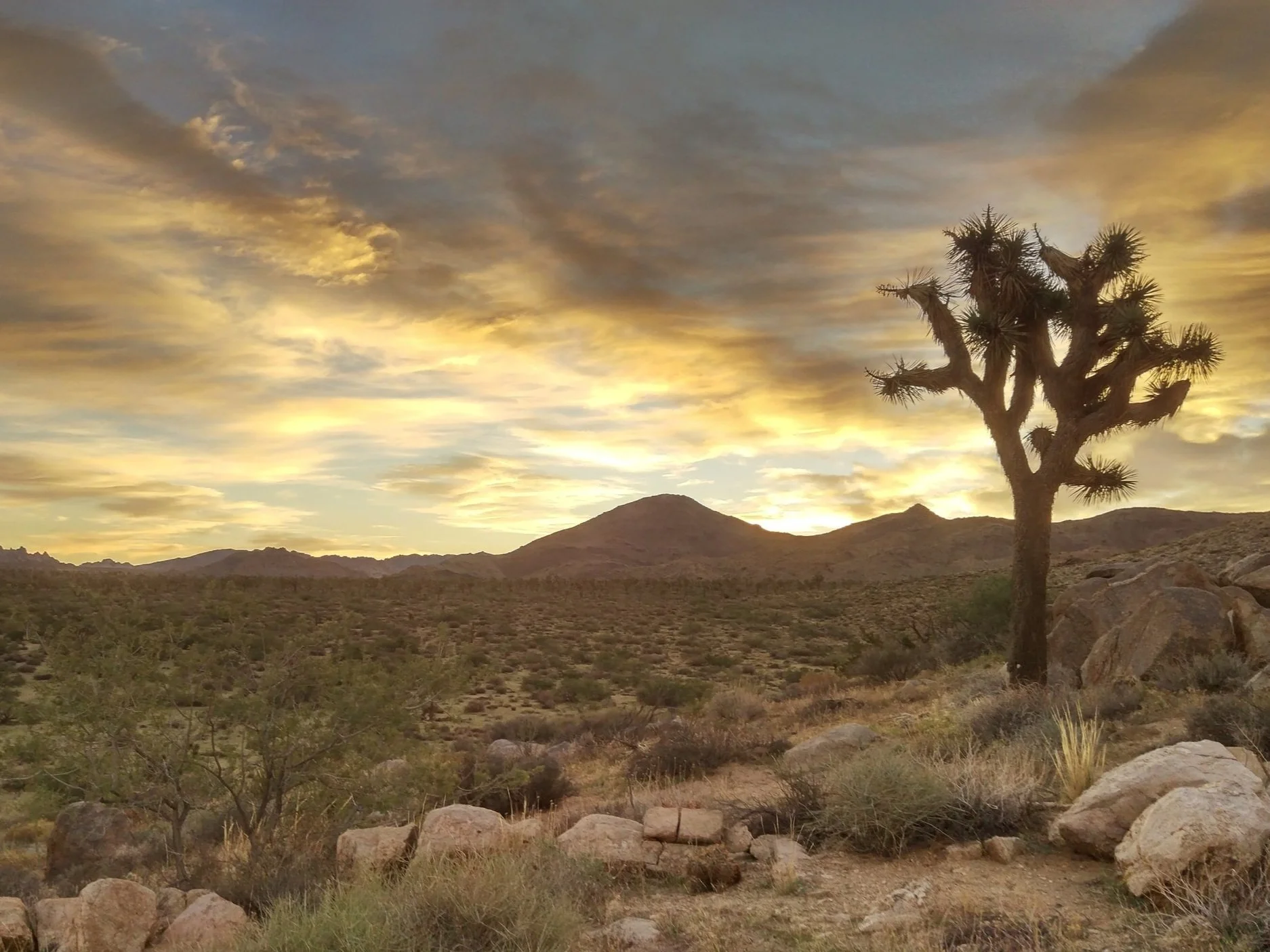
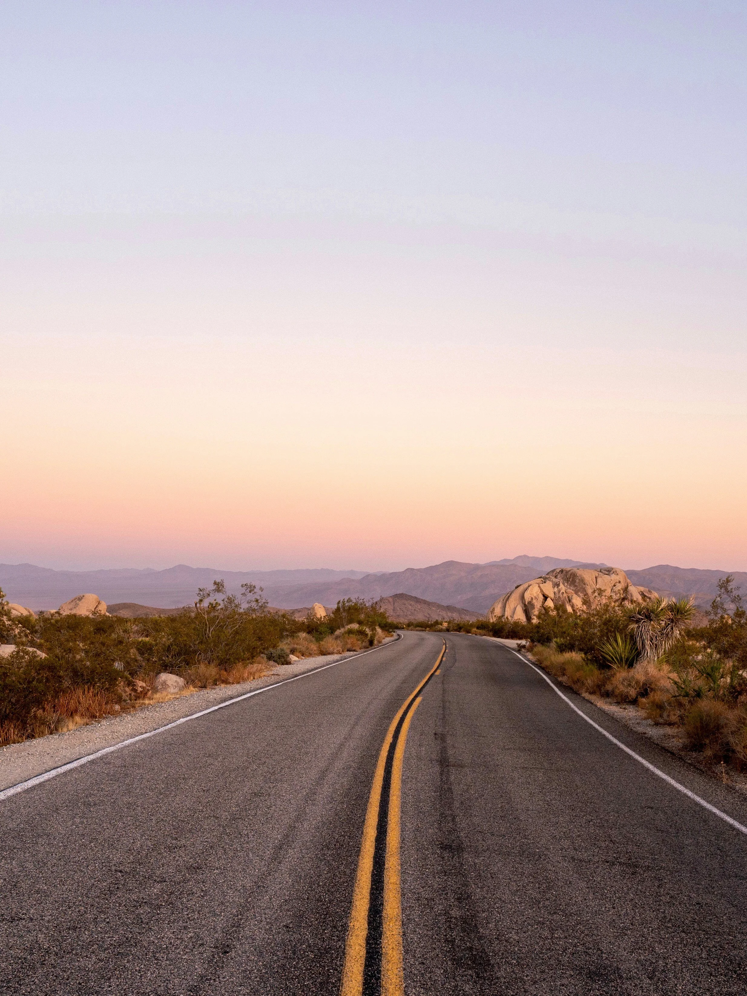
Drive through the surreal landscapes of the Mojave and Colorado deserts with a self-guided audio tour that plays automatically. Using a GPS-enabled app, navigate Joshua Tree National Park and discover how ancient forces shaped massive rock formations like the eerie Skull Rock and the boulders of Hidden Valley.
Tales of Desert Pioneers
As you cruise past panoramic vistas at Keys View and the unique Cholla Cactus Garden, location-triggered stories reveal the park's rugged history. Hear captivating tales of early Native American cultures, resilient miners, and ambitious homesteaders who forged a legacy in this extreme environment.
A Journey on Your Terms
Experience the ultimate flexibility of a self-paced adventure. Pause for a scenic hike, stop for sunset photos, or simply take in the sweeping desert views. The audio resumes whenever you are ready, so you can move freely and never feel rushed while exploring this majestic wilderness.
Joshua Tree Tour Highlights
Trace Desert History: Uncover tales of early pioneers, miners, and Native American cultures
Explore Iconic Sites: Marvel at famous landmarks like Skull Rock, Hidden Valley, and Keys View
Go at Your Own Pace: Enjoy the freedom to pause for a hike or photos; the audio resumes whenever you're ready
How It Works & Logistics
Format: This is a fully self-guided experience (no in-person guide)
Access: Download the tour in advance and use it anytime
Mechanics: The tour works entirely offline and uses your smartphone's app and GPS to automatically follow your location along the route
What You’ll See on Your Joshua Tree Driving Tour
Keys View
Perched atop the Little San Bernardino Mountains, this sweeping lookout offers unmatched panoramic views stretching across the Coachella Valley to the Salton Sea. It’s an ideal vantage point to visually trace the famous San Andreas Fault line and take in the sheer geographic scale of the region.
The 30-Second History: Named after long-time desert resident and rancher Bill Keys, this viewpoint has been drawing visitors since the park's early national monument days in the 1930s.
- Location: The terminus of Keys View Road.
- Time Needed: 20 to 30 minutes.
- Accessibility: Fully accessible; features paved walkways and wheelchair-friendly ramps leading to the overlook.
- Cost of Entry: Included with standard $35 National Park vehicle pass.
Skull Rock
Formed over thousands of years by the slow erosion of water pooling in granite depressions, this massive rock formation unmistakably resembles a human skull. Conveniently situated right off the main road, it provides a quick, memorable photo opportunity and access to surrounding boulder fields.
The 30-Second History: This natural phenomenon is a prime example of tafoni, a type of chemical weathering where moisture slowly eats away at the rock's minerals over millennia.
- Location: Park Boulevard, just east of Jumbo Rocks Campground.
- Time Needed: 15 to 30 minutes.
- Accessibility: The rock is highly visible right from the road and parking area, though getting up close requires stepping onto uneven dirt and rock.
- Cost of Entry: Included with standard $35 National Park vehicle pass.
Cholla Cactus Garden
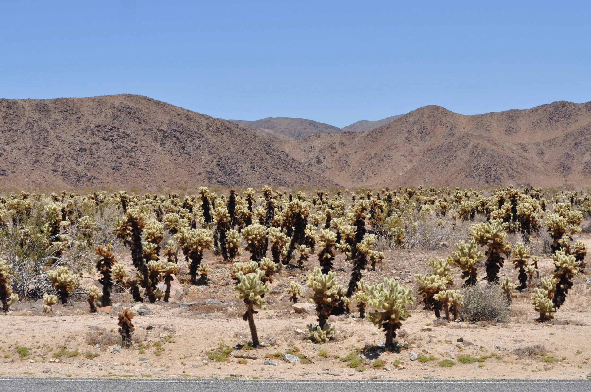
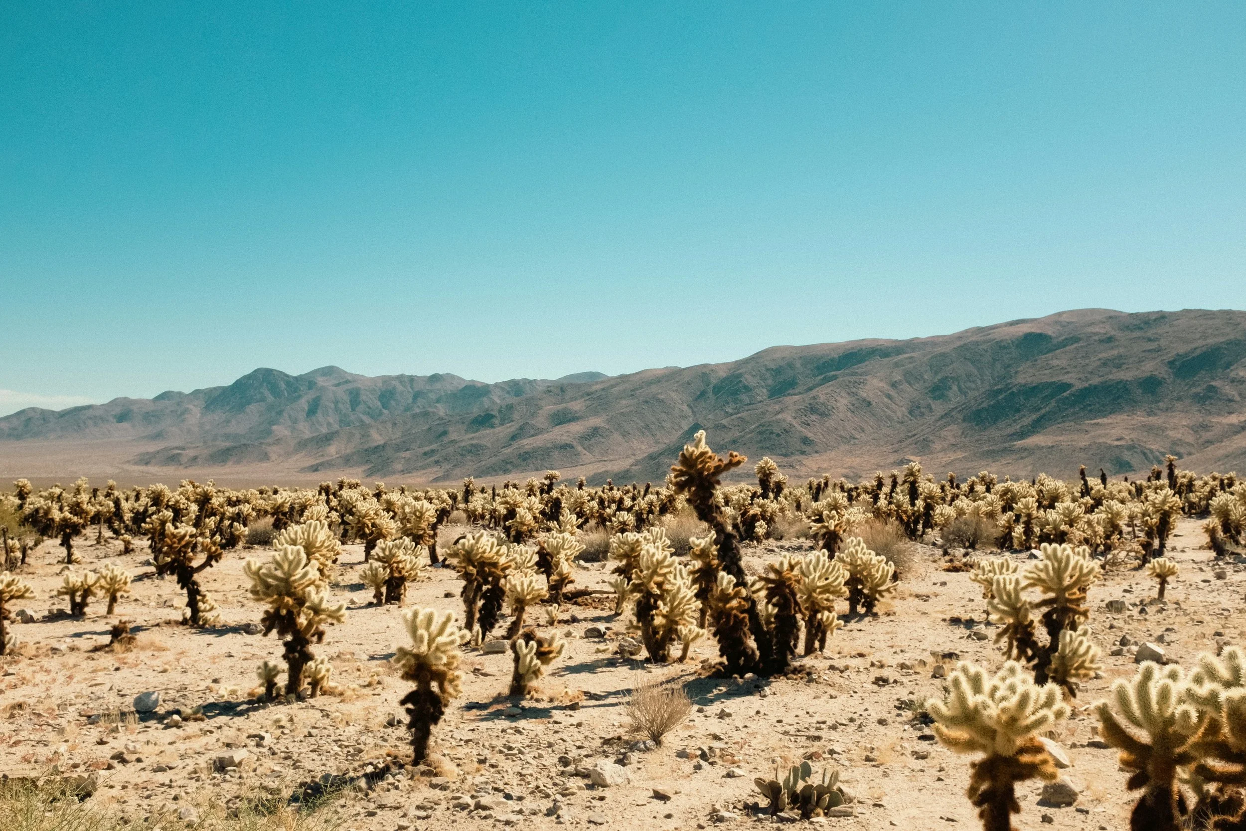
Wander through a dense, naturally occurring grove of seemingly fuzzy jumping cholla cacti that thrive in this specific transitional zone of the park. This unique botanical area feels almost otherworldly, especially during sunrise or sunset when the cactus needles catch the golden light.
The 30-Second History: This patch thrives specifically where the higher, cooler Mojave Desert merges with the lower, hotter Colorado Desert, creating the perfect microclimate for the Pinto Basin cholla.
- Location: Pinto Basin Road, roughly 12 miles south of the park's north entrance.
- Time Needed: 30 minutes.
- Accessibility: Highly accessible; features a flat, 0.25-mile dirt and boardwalk loop.
- Cost of Entry: Included with standard $35 National Park vehicle pass.
Whatever you do in Cholla Cactus Garden, don’t touch the cacti. They will stick to you
Barker Dam Trail
This popular trail leads to a rare seasonal reservoir tucked between massive monzogranite boulders, offering a unique chance to see water in an arid environment. The surrounding hike also features excellent opportunities for spotting local wildlife, including desert bighorn sheep and diverse bird species.
The 30-Second History: The dam was originally constructed in 1900 by cattle ranchers C.O. Barker and William Keys to capture rare rainwater for their herds, and was raised to its current height in the 1940s.
- Location: Near Hidden Valley, accessed via Barker Dam Road.
- Time Needed: 1 to 1.5 hours.
- Accessibility: The 1.1-mile loop is relatively flat but involves sandy patches and stepping through narrow rock corridors; not wheelchair accessible.
- Cost of Entry: Included with standard $35 National Park vehicle pass.
Arch Rock Nature Trail
Tucked away in the White Tank Campground area, this short trek winds through impressive boulder stacks before revealing a striking 30-foot natural granite arch. The trail invites exploration and scrambling, making it a favorite stop for geology enthusiasts and photographers alike.
The 30-Second History: Like much of the park's geology, the arch began as a solid mass of magma cooling deep underground, which was eventually pushed to the surface and sculpted by centuries of wind and water.
- Location: Twin Tanks parking area / White Tank Campground.
- Time Needed: 45 to 60 minutes.
- Accessibility: A 1.4-mile out-and-back trail over flat, sandy terrain that becomes rocky near the arch; not wheelchair accessible.
- Cost of Entry: Included with standard $35 National Park vehicle pass.
Ryan Mountain
For those looking to get their heart pumping, this prominent peak sits exactly in the center of the park and requires a steep, rewarding climb. At the summit, hikers are treated to 360-degree views of the surrounding Joshua tree forests and iconic rock piles far below.
The 30-Second History: The mountain takes its name from J.D. Ryan, a wealthy miner and rancher who laid out the nearby Lost Horse Mine and built an intricate water pumping system in the late 1890s.
- Location: Park Boulevard, between Hidden Valley and Jumbo Rocks.
- Time Needed: 2 to 3 hours.
- Accessibility: Strenuous and not accessible; involves a 3-mile round trip hike ascending roughly 1,000 feet up uneven stone stairs.
- Cost of Entry: Included with standard $35 National Park vehicle pass.
Split Rock
This towering, cleanly fractured boulder serves as the centerpiece for a quiet, scenic loop trail that showcases the diverse geological features of the park. The surrounding path weaves through narrow rock crevices and shady alcoves, offering a surprisingly secluded hiking experience.
The 30-Second History: Geologists believe this massive boulder was fractured by the cyclical freezing and thawing of water that seeped into a minor crack, eventually cleaving the rock completely in half.
- Location: Split Rock picnic area, off Park Boulevard.
- Time Needed: 1 to 1.5 hours.
- Accessibility: The 2.5-mile loop trail features uneven, rocky terrain and elevation changes; not wheelchair accessible.
- Cost of Entry: Included with standard $35 National Park vehicle pass.
Discover the raw, natural beauty of Joshua Tree National Park with Drives & Detours
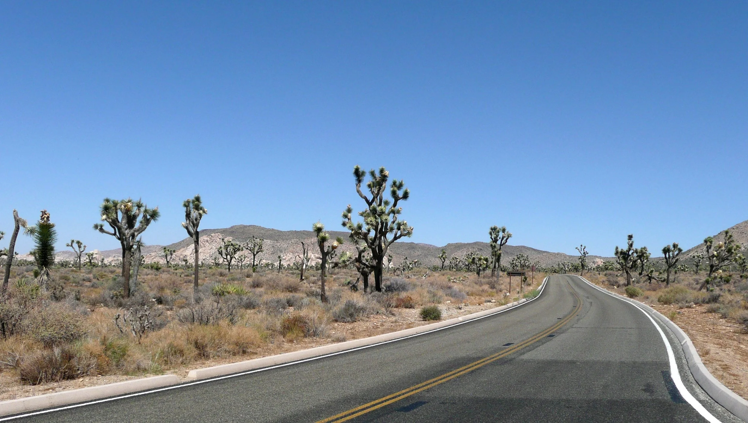
A self-guided driving tour is the perfect way to discover Joshua Tree National Park
Hall of Horrors
Don't let the ominous name deter you; this area features dramatic clusters of parallel rock formations that create fascinating, narrow corridors known as slot canyons. It is a highly popular playground for rock climbers and a great spot for casual hikers to explore the shaded, maze-like gaps.
The 30-Second History: The area earned its quirky name from early rock climbers who found the challenging, jagged routes here particularly tough on the hands and nerves.
- Location: Off Park Boulevard, just west of Ryan Mountain.
- Time Needed: 45 to 60 minutes.
- Accessibility: The outer path around the rocks is flat and sandy, but entering the narrow halls requires scrambling over boulders; limited accessibility.
- Cost of Entry: Included with standard $35 National Park vehicle pass.
Wall Street Mill
Follow a sandy wash through a landscape dotted with rusted historic relics to find a remarkably well-preserved gold ore crushing mill. This peaceful hike offers a tangible step back into the park's industrious past, showcasing the ingenuity required to mine in the harsh desert.
The 30-Second History: Built by Bill Keys in 1933, this two-stamp mill processed gold ore for local prospectors; the trail also passes the site of a fatal 1943 gunfight between Keys and a neighbor over land access.
- Location: Accessed from the same parking lot as Barker Dam.
- Time Needed: 1.5 to 2 hours.
- Accessibility: The 2-mile out-and-back trail is entirely flat but consists of deep, loose sand that can be difficult for mobility devices.
- Cost of Entry: Included with standard $35 National Park vehicle pass.
Boy Scout Trail
Stretching deep into the rugged backcountry, this trail transitions dramatically between the Mojave Desert's dense Joshua tree forests and rocky, remote wilderness. While traversing the entire route is a major undertaking, walking even the first mile offers an immediate sense of peaceful isolation.
The 30-Second History: Portions of this trail follow ancient Native American footpaths, but it was officially mapped and maintained in the mid-20th century, becoming a classic rite-of-passage hike for local scouting troops.
- Location: Park Boulevard, near the Indian Cove turnoff.
- Time Needed: 1 hour for a short taste; 6 to 8 hours for the full 16-mile one-way traverse.
- Accessibility: Unpaved dirt and sand trail that becomes increasingly rugged and rocky; not accessible.
- Cost of Entry: Included with standard $35 National Park vehicle pass.
Quail Springs Trail
This welcoming expanse serves as one of the first major picnic and day-use areas upon entering from the west, framed by sprawling Joshua trees and massive boulder piles. It is a quintessential spot to enjoy a meal in the shade before wandering the sandy pathways that snake into the surrounding rock formations.
The 30-Second History: Historically, this area was a critical watering hole for local Native American tribes and later served as a vital water source for 19th-century prospectors and cattle ranchers.
- Location: Park Boulevard, a few miles inside the West Entrance.
- Time Needed: 30 to 45 minutes.
- Accessibility: The picnic area has accessible tables and flat, hard-packed dirt pathways, making it one of the more friendly stops for those with limited mobility.
- Cost of Entry: Included with standard $35 National Park vehicle pass.
Ryan Ranch Homestead Site
Take a short, level stroll to the decaying adobe brick ruins of what was once an extensive cattle ranching operation. Framed by expansive desert skies, the crumbling walls offer a fascinating, photogenic glimpse into the grueling reality of early 20th-century homesteading.
The 30-Second History: The Ryan brothers established this 160-acre ranch in 1896 to support their nearby Lost Horse Mine, eventually building a large adobe house that burned down under mysterious circumstances in 1978.
- Location: Located on a spur trail starting from Ryan Campground.
- Time Needed: 45 minutes.
- Accessibility: An easy, flat 1-mile round-trip walk on a mostly sandy and dirt path; accessible to rugged strollers but tough for standard wheelchairs.
- Cost of Entry: Included with standard $35 National Park vehicle pass.

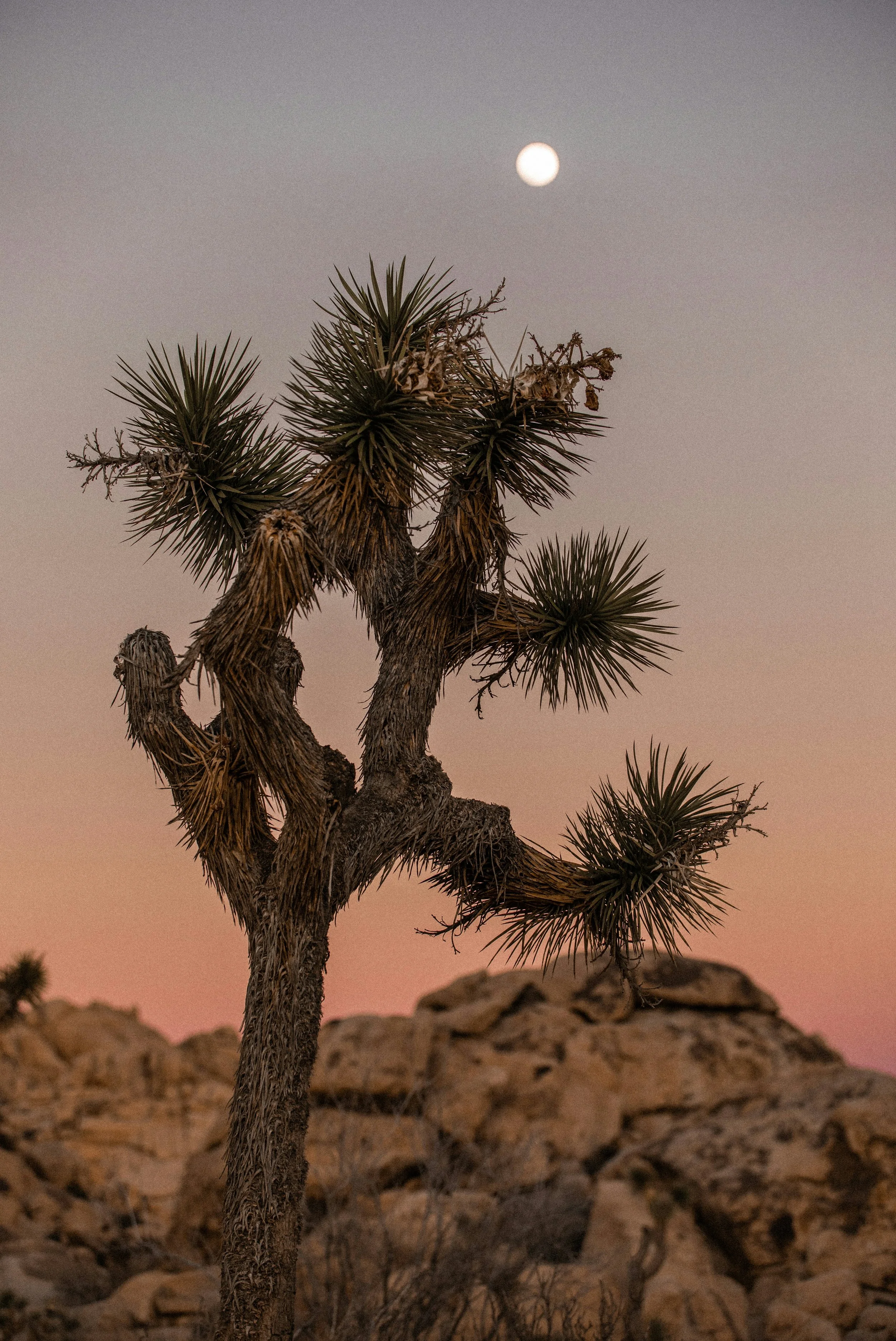

Meeting Points
Your Joshua Tree driving tour begins at either the North or West Entrance Station.
Option 1: West Entrance Station
Turn right onto Park Boulevard from the 29 Palms Highway in Joshua Tree to find the Joshua Tree Visitor Center and West Entrance Station.
Option 2: North Entrance Station
Turn right onto the Utah Trail from the 29 Palms Highway in Twentynine Palms to find the North Entrance Station beside the Sky’s The Limit Observatory and Nature Center.
FAQs About Our Joshua Tree Driving Tour
-
Yes, a pass is required to enter Joshua Tree National Park. The prices are as following:
Standard Pass: $15.00–$30.00
Annual Pass: $55.00
America the Beautiful Pass (includes Senior Passes): Free–$80.00
Discounts are available to certain people. Visit the National Park Service website for more information.
-
We get asked this question all the time. Yucca Valley is your best bet, but the town of Joshua Tree has some options too. We’ve put together a full guide for you here.
-
Tours are fully refundable up to 24 hours in advance.
If it’s within 24 hours or you had an issue during your tour, email support@drivesanddetours.com. We review all requests individually and will always do our best to make things right.
Our goal is to ensure every traveler has a great experience exploring with Drives & Detours.
-
Yes, downloading the Drives & Detours app will give you full access to the tour you have purchased, as well as many other self-guided tours.
-
Download the tour before you go. Some areas have poor signal, which can make downloading the tour difficult. Once the tour is downloaded, it will work without any cell signal
The tour audio plays automatically as you approach each stop
Want to see more? Tap “View Stop” to see photos and bonus content
To return to the map, tap the small down arrow between the “previous” and “next” buttons
Follow the blue line and audio directions to stay on route
Use audio controls to pause, rewind, or skip—just like a podcast
Safety first: Keep your eyes on the road or sidewalk, follow traffic laws, and stay aware of your surroundings
-
No—download your Joshua Tree tour before you go, and you won't need a cell signal. Drives & Detours’ tours work without any cell signal once they are downloaded to your device.
-
Once you have purchased your Joshua Tree driving tour from Drives & Detours, you can use it whenever you want. You can always take the tour another day if the weather is bad on the day you plan to take it.
-
Unfortunately, Drives & Detours cannot guarantee that the Joshua Tree driving tour is accessible. People with wheelchairs, strollers, or mobility impairments are very welcome, but we recommend checking the National Park Service website for detailed information.
Pro Tips for Your Drives & Detours Joshua Tree Self-Guided Tour
Download before you go.
Enable location services—GPS triggers the audio.
Use earbuds, headphones, or your car speakers.
Pause and resume anytime. If you take a break, just reopen the app and head back toward your last stop.
Lost your way? Tap any pin on the map, then tap the right-turn-arrow icon to open your default maps app for turn-by-turn directions to that spot.
More Driving Tours Nearby
Apple Pies & Desert Skies: San Diego’s Ultimate Backroad Driving Tour
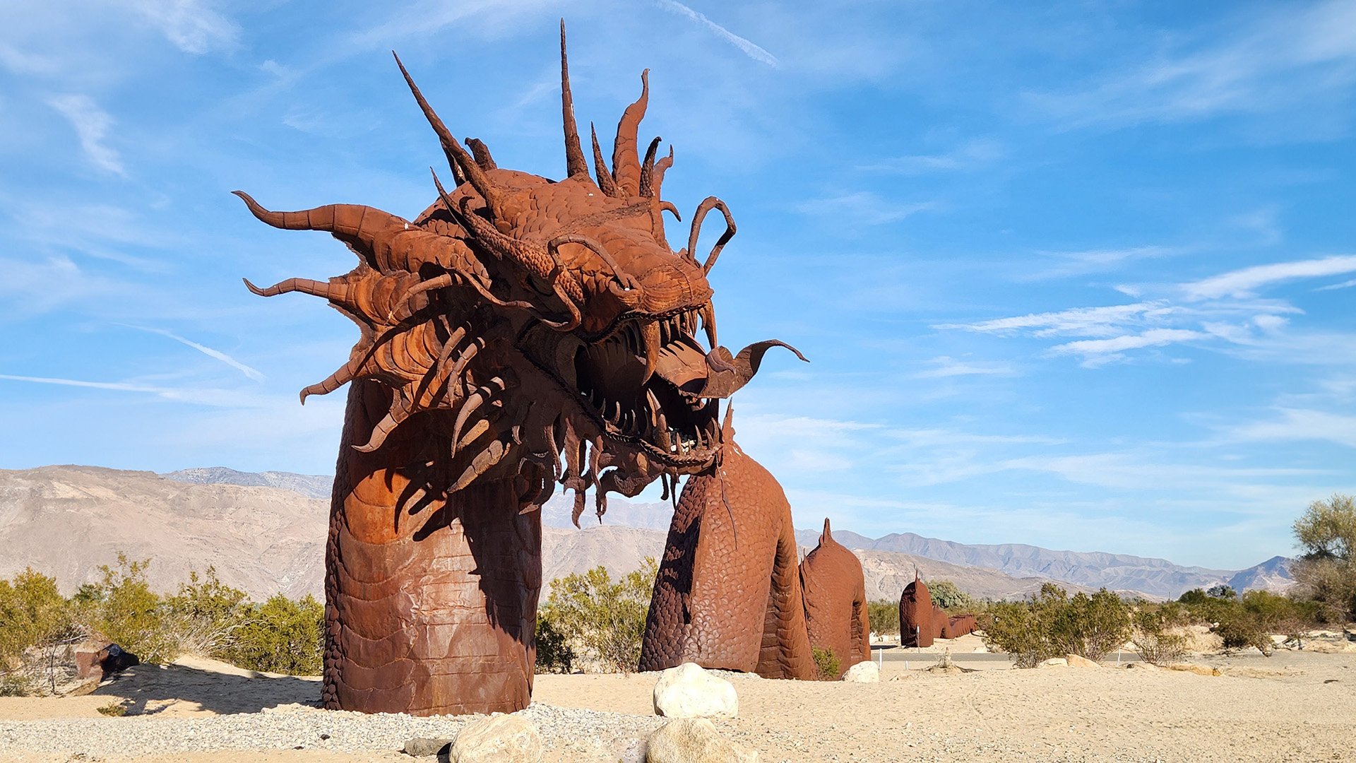
Set out on a full-day self-guided drive showcasing San Diego County’s most breathtaking scenery. Journey to the Palomar Observatory high above the clouds, marvel at Borrego Springs’ whimsical metal sculptures, and wander the charming mountain town of Julian, famous for its homemade apple pies.
Beaches & Bluffs: Coastal San Diego Driving Tour
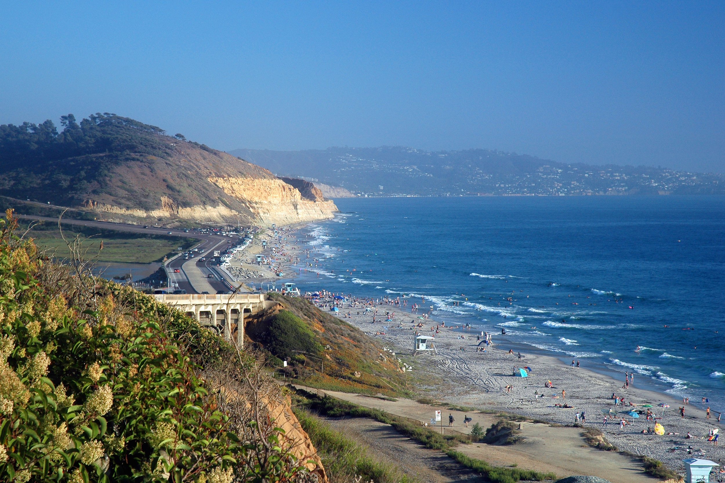
Discover San Diego’s stunning shoreline with this immersive self-guided audio drive. Hike the cliffs at Torrey Pines, stroll along La Jolla Cove, and take in sweeping ocean views from Mt. Soledad and Cabrillo National Monument—iconic stops that capture the city’s coastal beauty.
Canyons Peaks & Meadows: A San Diego Backroads Adventure
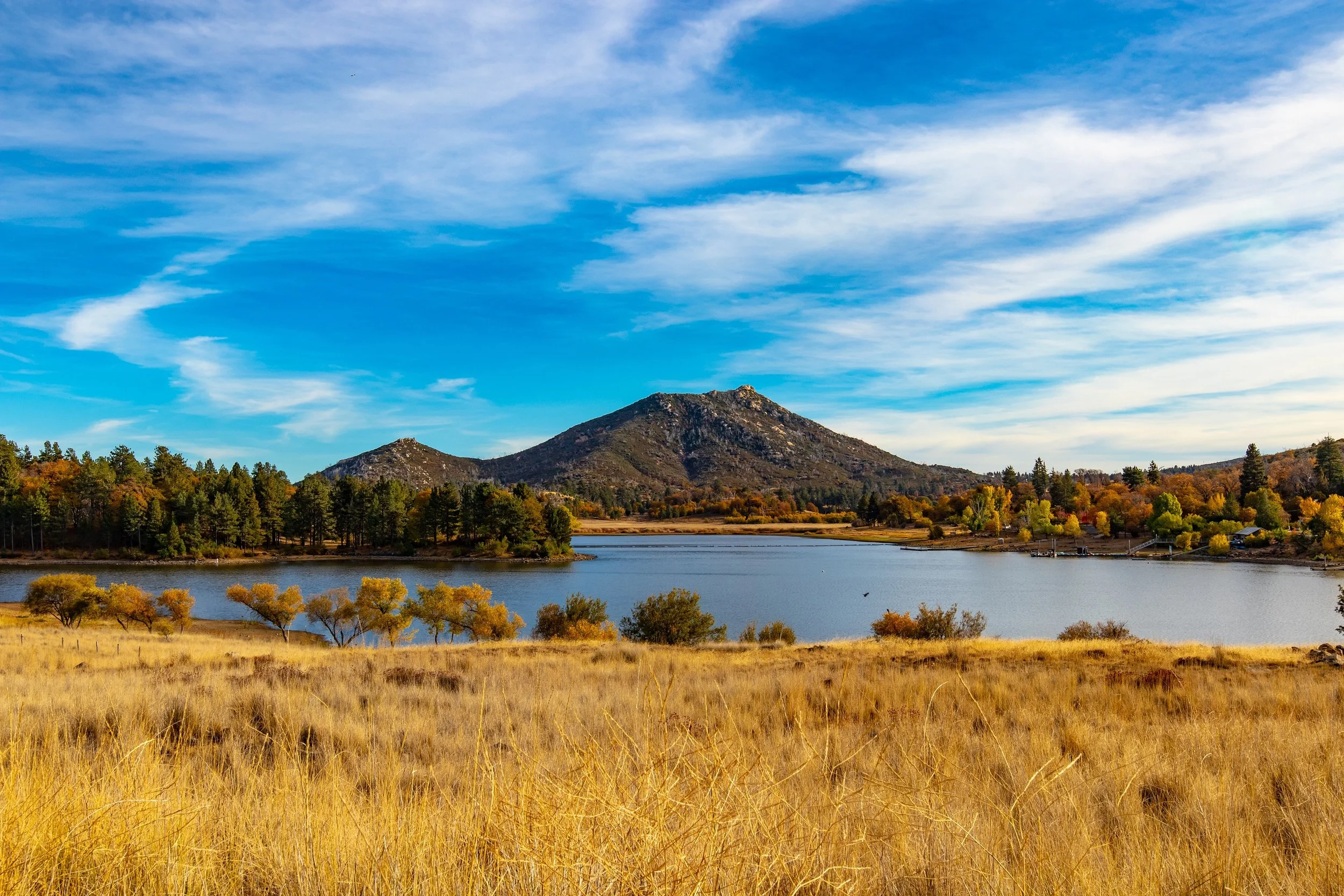
Hit the open road and uncover San Diego’s wild side on this self-guided journey through the county’s scenic southern backroads. Wind from Jamul up to Mt. Laguna and along the Sunrise Highway to Lake Cuyamaca, taking in rugged canyons, mountain vistas, and peaceful meadows along the way—a perfect escape for outdoor enthusiasts and weekend adventurers alike.
Discover More About Joshua Tree National Park