The Fascinating History of the San Antonio River Walk
Discover the Secret Past of Texas’s Most Beautiful Waterway at Your Own Pace
The San Antonio River Walk is now a stunning urban sanctuary, but the river used to be a public hazard — Eric Francis / Unsplash
Strolling along the modern San Antonio River Walk today, you are instantly transported to a lush, sunken oasis in the heart of a bustling city. Towering bald cypress trees drape gracefully over winding waterways, casting shade on the historic stone pathways below. Picturesque arched bridges connect vibrant patios filled with the sounds of mariachi music, clinking glasses, and lively conversation.
It is a stunning urban sanctuary, but the history of the San Antonio River Walk is as turbulent as it is triumphant. Known locally as the Paseo del Rio, this world-renowned destination was once deemed a dangerous public hazard. In fact, early city planners nearly paved over the beautiful river bend to transform it into a concrete storm sewer.
Fortunately, a few passionate visionaries stepped in to save it, creating the beloved landmark we know and love today. Reading about these events is fascinating, but the best way to experience this rich history is by walking it yourself with our San Antonio River Walk Audio Tour in your ear.
Secrets of the Paseo del Rio: Key Milestones of the River Walk
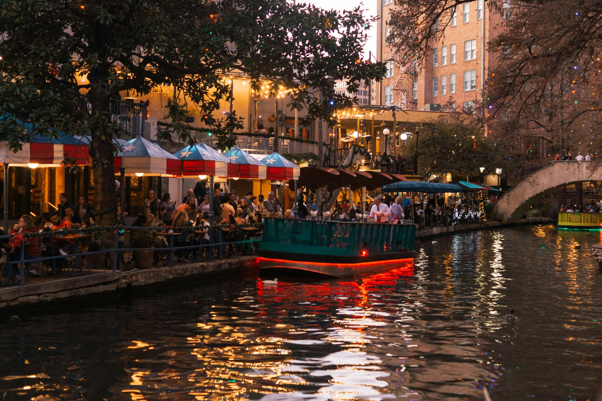
The downtown loop of the San Antonio River has been transformed into a massive linear park — Weston M / Unplash
To truly appreciate the San Antonio River Walk, independent explorers must look past the modern restaurant patios and into the centuries of resilience etched into its stone pathways. Here is a quick guide to the defining moments, visions, and transformations that shaped this iconic Texas waterway.
Yanaguana Beginnings: Long before European settlement, the indigenous Payaya people revered the river as a life-giving sanctuary, naming it for its refreshing, vital waters
The Spanish Lifeline: Renamed in 1691, the river became the literal engine of early San Antonio, feeding a complex network of irrigation canals (acequias) that sustained the Alamo and local missions
The 1921 Catalyst: A catastrophic autumn flood devastated downtown, sparking a radical, near-fatal civic plan to pave over the historic river bend and turn it into a concrete storm sewer
Hugman’s Vision: Architect Robert H.H. Hugman saved the waterway by pitching a romantic, Spain-inspired commercial district below street level, eventually realized through 1939 WPA funding
The HemisFair Renaissance: After decades of post-war neglect, the 1968 World’s Fair injected new life into the banks, introducing groundbreaking engineering marvels and cementing its global fame
The 15-Mile Expansion: Modern engineering has transformed the downtown loop into a massive linear park, connecting cultural hubs like the Pearl Brewery and historic missions via the Museum and Mission Reaches
Indigenous Roots and Spanish Missions: The River's Early Days
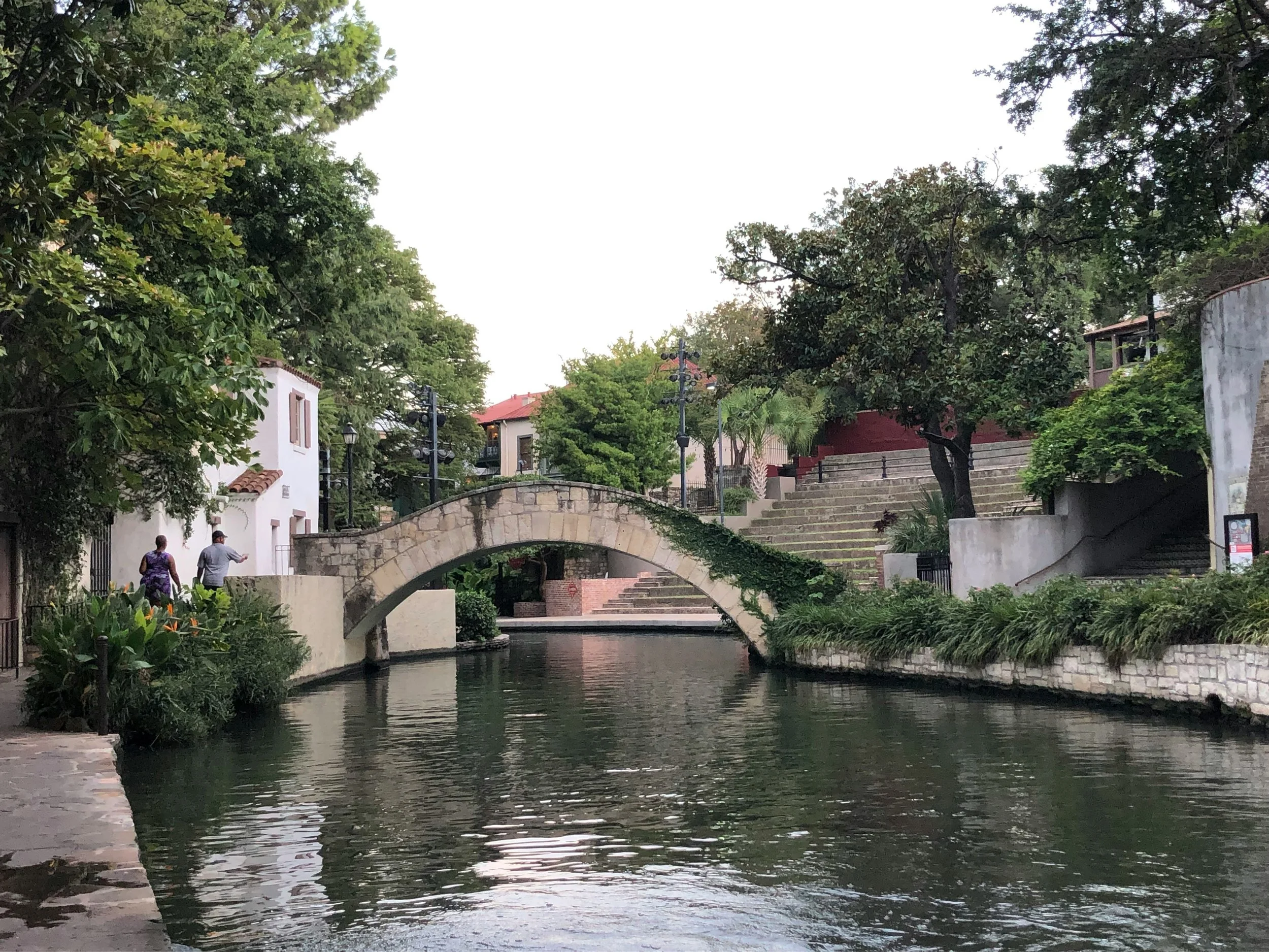
The San Antonio River has been a lifeline for generations of people living in the region — Robin LeeAnn / Unsplash
Long before the river was flanked by luxury hotels and bustling outdoor cafes, it was a vital, natural lifeline for the region's earliest inhabitants. The indigenous Payaya people lived along these verdant banks for countless generations. They called the refreshing, life-giving waters Yanaguana. For the Payaya, the river provided essential sustenance, abundant wildlife, and an idyllic gathering place amidst the harsh Texas landscape.
The narrative of San Antonio River Walk history shifted drastically with the arrival of European explorers. On June 13, 1691, a group of Spanish explorers and Catholic missionaries stumbled upon the winding river. Because it happened to be the feast day of St. Anthony of Padua, they fittingly named the waterway San Antonio de Padua.
This monumental discovery laid the permanent groundwork for the city's foundation. Over the next century, the Spanish utilized the river to build a complex, gravity-fed network of acequias (irrigation canals). These waterways became the literal lifeblood for the Alamo and the surrounding Spanish missions, transforming the dry, unforgiving terrain into fertile agricultural land. The river was no longer just a natural wonder; it was the essential artery that allowed early San Antonio to thrive.
The Devastating Flood of 1921: A Turning Point
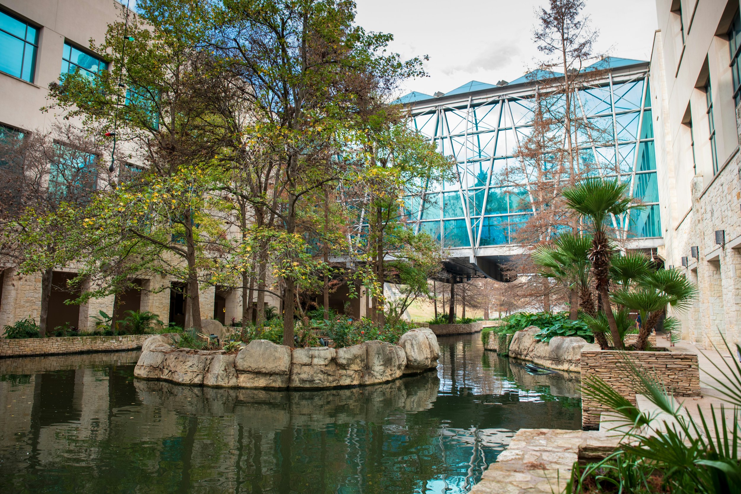
The San Antonio River is now calm and still, but it used to be very unpredictable — Trac Vu / Unsplash
As the city expanded rapidly around the river banks, the unpredictable nature of the water became a growing, dangerous liability. The defining turning point in Paseo del Rio's history occurred in September 1921. A massive tropical storm stalled over the region, dumping heavy, unrelenting rain and causing the river to violently burst its banks.
The 1921 San Antonio flood was a catastrophic event that quickly inundated the downtown district with up to nine feet of raging water. Tragically, the sudden disaster claimed the lives of 50 people and caused millions of dollars in catastrophic property damage. The city was left devastated, terrified of the river's power, and desperate for a permanent solution to control the deadly floodwaters.
In the aftermath, city officials drafted a strictly utilitarian, modern plan to prevent future disasters. They proposed building a massive upstream dam and completely paving over the river’s iconic horseshoe bend downtown. The vision was to drain the riverbend and convert it into a massive underground storm sewer.
While this would have effectively solved the flooding issue, it would have erased the city's natural crown jewel forever.
Robert H.H. Hugman: The Visionary Architect
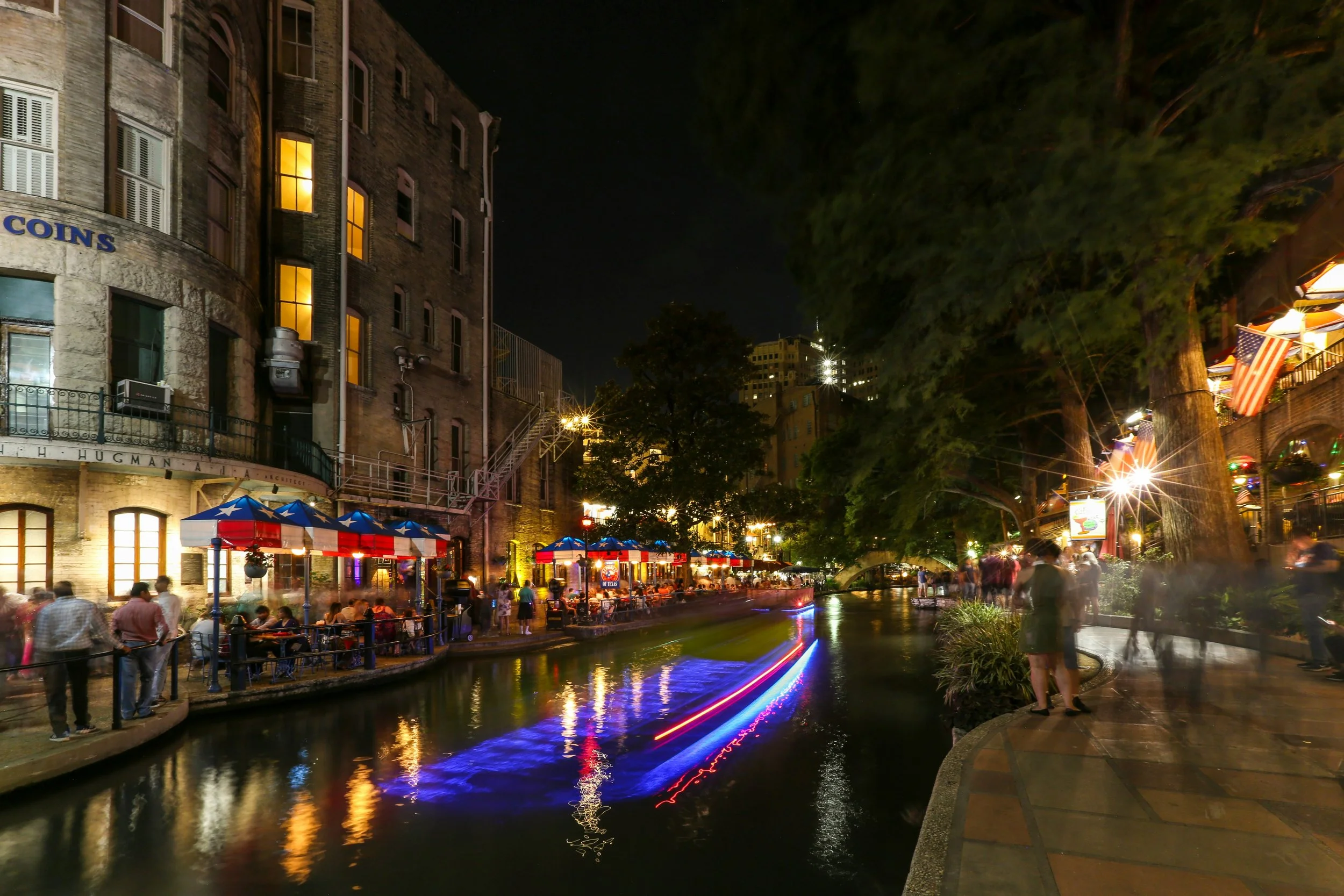
Robert Hugman’s office can still be seen when walking the San Antonio River — Mick Haupt / Unsplash
The stark proposal to pave over the river sparked immediate, fiery outrage among local conservationists. A passionate group of citizens, led by the newly formed San Antonio Conservation Society, fought tirelessly to save the natural river bend. Among these vocal defenders was a brilliant young architect named Robert H.H. Hugman, who would eventually earn the title Father of the River Walk.
Instead of an ugly underground sewer, Hugman presented a visionary counter-proposal in 1929 titled The Shops of Romula and Aragon. He envisioned a winding, romantic commercial district safely situated below street level. Drawing heavy inspiration from the vibrant streets of Spain, Hugman’s grand design featured cobblestone walkways, charming boutique storefronts, and cozy outdoor cafes.
So, exactly when was the Riverwalk built? While Hugman’s beautiful idea was widely lauded by the public, the onset of the Great Depression unfortunately stalled progress for an entire decade. It wasn't until 1939 that the ambitious dream finally began to materialize.
Armed with a crucial $430,000 funding grant from the Works Progress Administration (WPA), Hugman was officially appointed as the project architect. Construction began, and a workforce of over 1,000 men spent the next two years laying the stone foundation for Hugman's masterpiece. They constructed 17,000 feet of walkways, built twenty picturesque stone bridges, and planted lush, exotic foliage. By 1941, the initial phase was complete, permanently saving the river from becoming a concrete drainage pipe.
Neglect and Rebirth: HemisFair '68
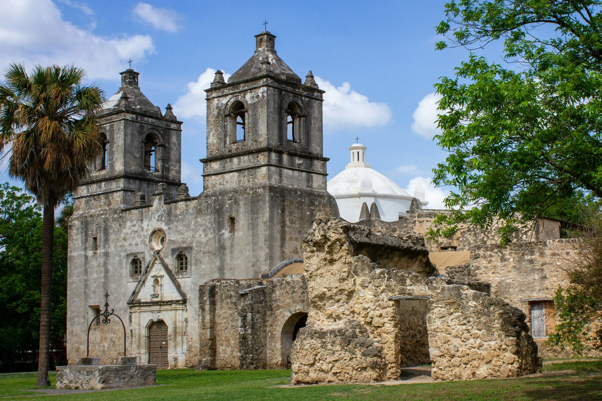
San Antonio is full of history, but the Missions were not always connected to the River Walk — Joshua J Cotten / Unsplash
Despite the incredible architectural achievement of the WPA era, the River Walk did not immediately blossom into the bustling tourist hub it is today. Throughout the 1940s and 1950s, the sunken walkways unfortunately became neglected, overgrown, and dangerous. With poor lighting and minimal commercial development, local residents largely avoided the quiet area after dark.
The true, lasting renaissance of the River Walk arrived in the 1960s, driven by frantic preparations for the upcoming 1968 World’s Fair, known as HemisFair '68. City leaders finally realized they had a unique, historical treasure that desperately needed to be showcased on a global stage. A massive civic revitalization effort was launched to transform the Paseo del Rio into a premier, welcoming entertainment district.
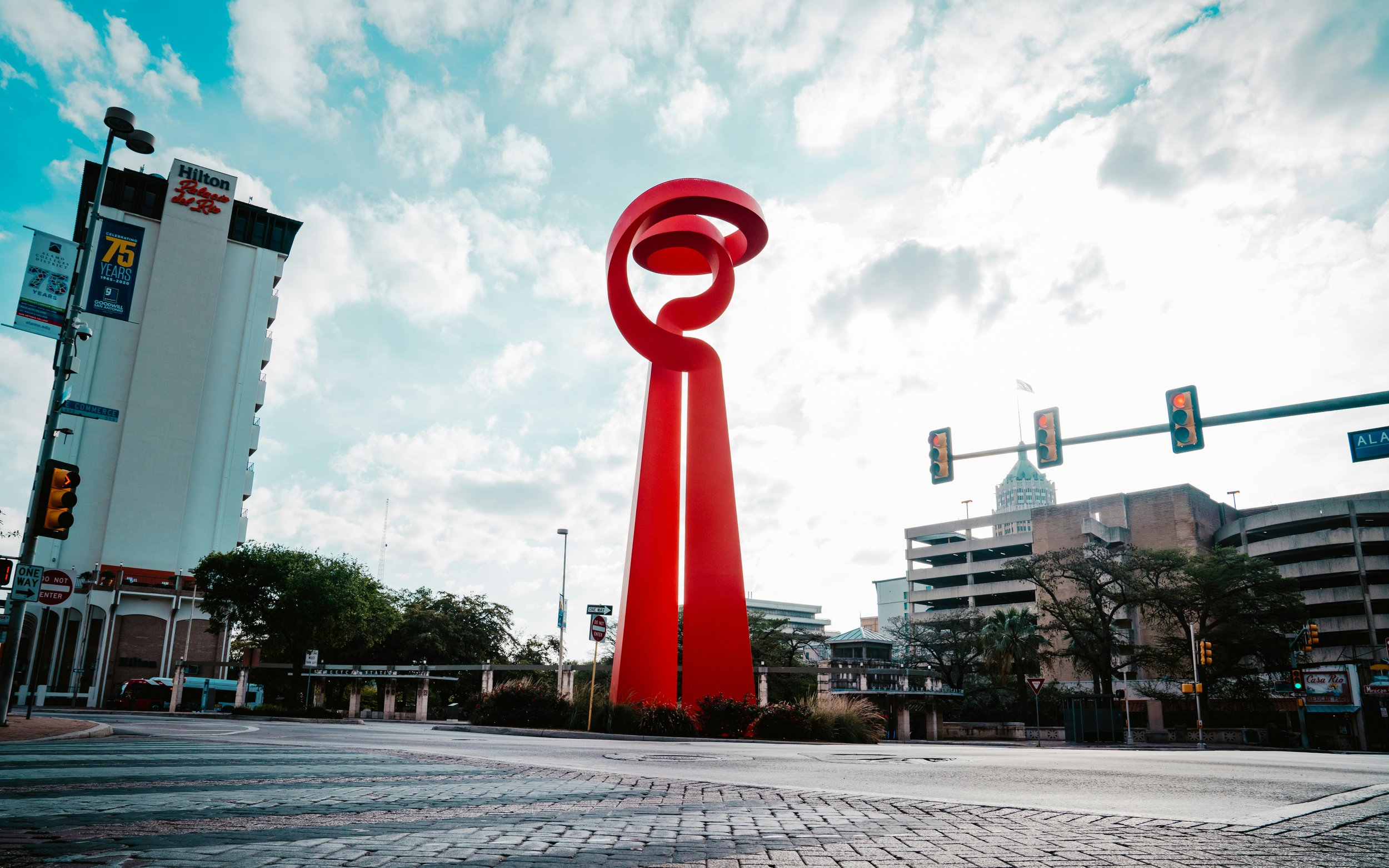
This vibrant era of rapid development saw the construction of major hotels and restaurants directly along the water's edge. The most famous feat of engineering from this time was the Hilton Palacio del Rio, built in a record-breaking 202 days using modular room units stacked like concrete blocks. HemisFair '68 was a resounding success, exposing millions of international visitors to the romance of the river. It firmly cemented the River Walk's status as a world-class tourist destination.
The River Walk Today: Museum Reach and Mission Reach
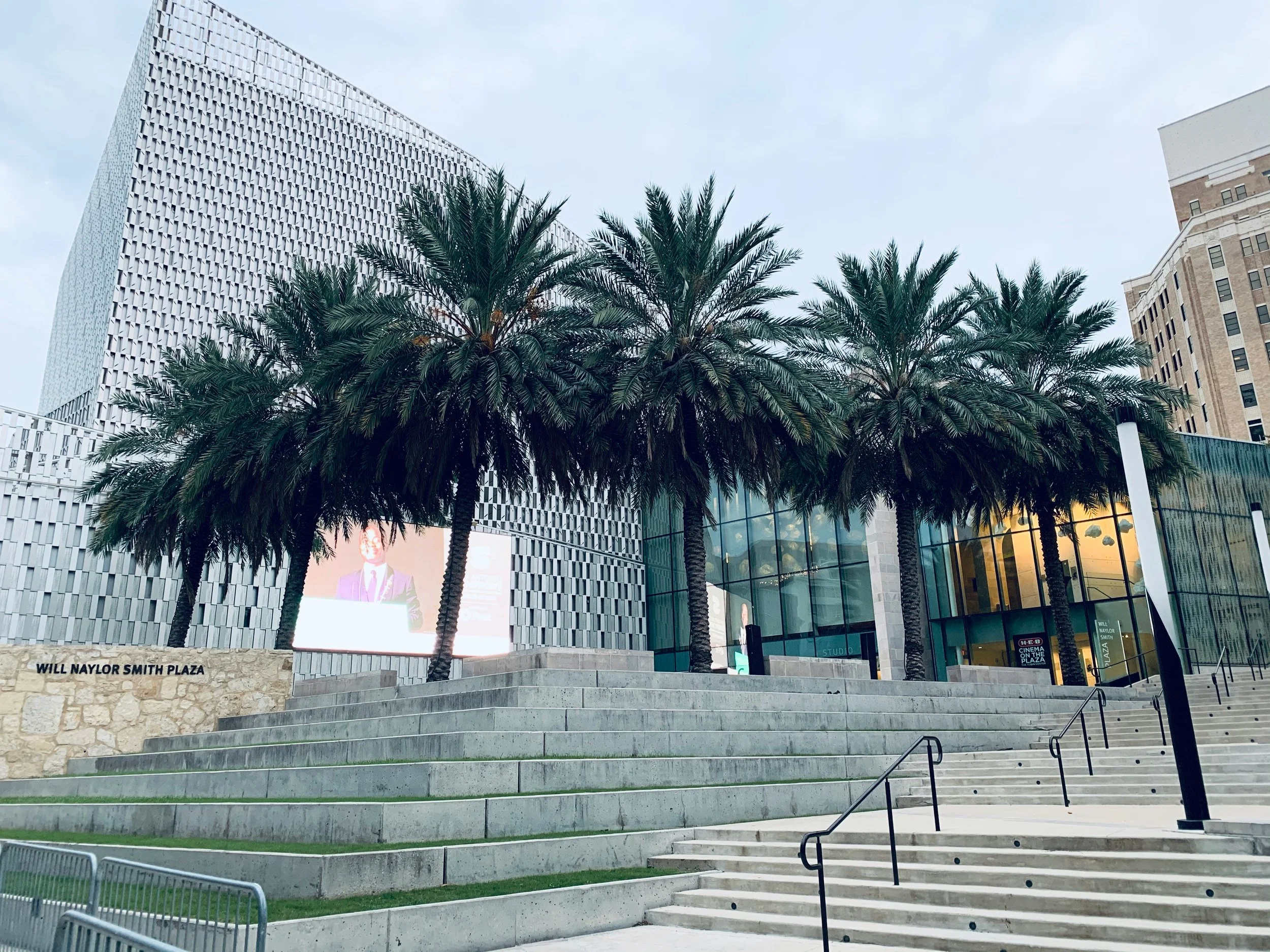
The San Antonio River Walk has expanded north to include the Museum Reach and Pearl Brewery district — Sophia Martinez / Unsplash
Today, the history of the San Antonio River Walk continues to evolve with the city around it. In the 21st century, highly ambitious expansion projects have transformed the downtown loop into an incredible 15-mile linear park. The Museum Reach, completed in 2009, gracefully extended the walkable path northward. This beautifully landscaped stretch connects visitors seamlessly to the San Antonio Museum of Art and the historic Pearl Brewery district.
To the south, the massive Mission Reach expansion was completed in 2013. This impressive ecological restoration project restored the river's natural ecosystem and connected the downtown area directly to the four historic Spanish missions. These continuous, scenic pathways make San Antonio history tours more immersive than ever before. Travelers can now walk or cycle through centuries of rich Texas heritage without ever leaving the river's edge.
Step Into History: Walk the Paseo del Rio Yourself
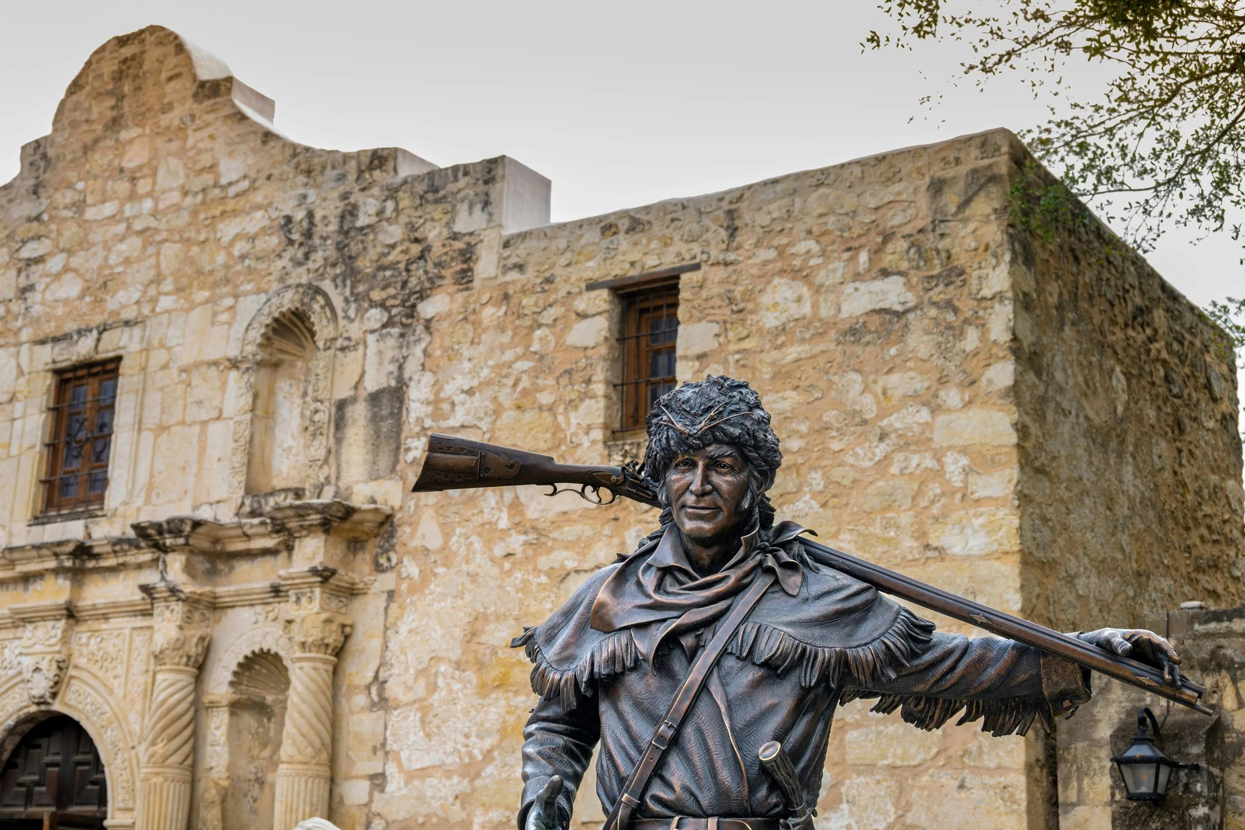
There is plenty more history to discover in San Antonio once you’ve explored the River Walk — Joseph Corl / Unsplash
Reading about the triumphs and tragedies of the Paseo del Rio is fascinating, but standing on the very cobblestones where this history unfolded is an entirely different experience. You can see the grand vision of Robert H.H. Hugman with your own eyes, feel the cooling shade of the ancient cypress trees, and trace the terrifying path of the devastating 1921 floodwaters.
Don't just walk past history—experience it at your own pace, on your own terms. With our San Antonio River Walk Audio Tour, you get a personal historian right in your pocket.
It guides you step-by-step through the incredible stories you’ve just read about, pointing out hidden architectural details and ensuring you won't miss a single hidden gem. Grab your headphones, hit play, and step into the captivating past of Texas's most beautiful waterway today.
Frequently Asked Questions About the History of the San Antonio River Walk
How long is the River Walk, and can you walk the entire path?
Today, the River Walk spans roughly 15 miles. While the downtown Horseshoe Loop is famous for its dense concentration of dining and shopping, independent travelers can seamlessly follow the Museum Reach north to the Pearl district or the Mission Reach south to explore the full, scenic expanse away from the central crowds.
What is the best way to explore the history without joining a large tour group?
Skipping the crowded tour groups or rigid schedules allows you to explore at your own pace. A self-guided audio tour provides the deep context of the 1921 flood and Robert Hugman's architecture directly in your pocket, letting you linger by the stone bridges or skip ahead whenever you choose.
Can you actually drink and dine directly along the water’s edge?
Yes. Robert Hugman’s original 1929 design explicitly included outdoor cafes situated safely below street level to evoke an old-world European atmosphere. Today, you can enjoy local craft beers, historic cocktails, and classic Tex-Mex right at the water's edge.
How did they build the massive hotels along the river without damaging the historic banks?
The rapid preparation for HemisFair '68 forced builders to innovate under tight deadlines. The landmark Hilton Palacio del Rio, for instance, was constructed in a record-breaking 202 days by using modular room units that were fully assembled off-site and craned into place to preserve the river's structural integrity.
Is the River Walk accessible for travelers looking to avoid stairs?
While the paths were intentionally built below street level to protect the city from flooding, modern updates have integrated numerous ramps, pathways, and elevators throughout the downtown loop. This ensures independent explorers can transition smoothly from the street level down to the historical cobblestones.